The recent study released by NASA Sea Level Change Science Team projects a surge in coastal flooding starting in the 2030s, due to the alignment of increasing sea levels with the lunar cycle moon “wobble” and its impact on tides.
The moon’s impact on high-tide floods, often experienced on the Atlantic and Gulf coasts, is tracked by National Oceanic and Atmospheric Administration (NOAA), which reported more than 600 lunar cycle related coastal floods in 2019. The moon wobble was first reported in 1728 and has an 18.6 year cycle. Half of the lunar cycle amplifies tide extremes, meaning high tides are higher and low tides are lower. Historic data shows the rate of sea level rise has increased over time and is increasing more rapidly. Between 1900 and 1990, the increase averaged 1.2 mm to 1.7 mm per year. By 2000, the rate increased to 3.2 mm per year and continues to increase. Based on the expected increase in tide levels by the 2030s, more frequent coastal flooding that could last longer is projected to impact coastal infrastructure, especially in low-lying areas. NASA is providing information for urban planners and others to allow for planning to take steps to address shoreline stabilization and mitigate damage to infrastructure. The NASA team has developed a sea level portal to make information available.
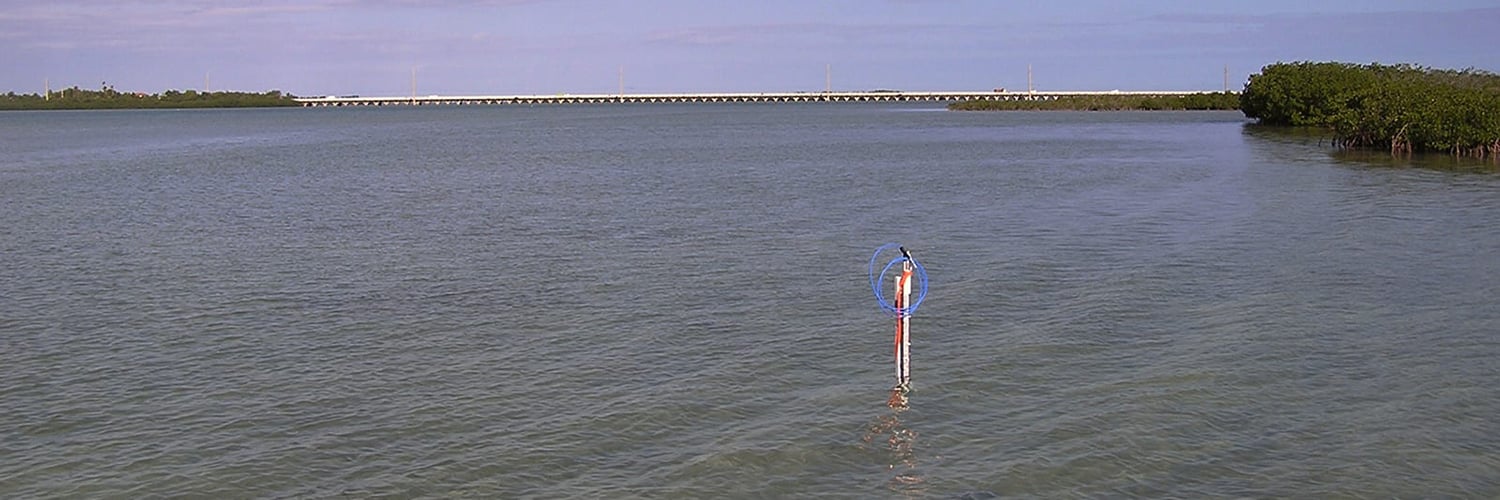
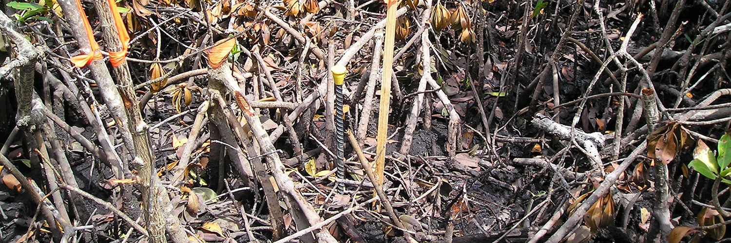
Researchers at NASA and NOAA, along with state agencies, look at tipping points in flood numbers by studying Mean High Water elevations based on the National Tidal Datum Epoch studies which are completed every 19 years. The tidal datum is based on data obtained at tide stations or tide gauge locations in every coastal US state and territory except Alaska. Tidal datums in some regions with anomalous sea level changes, such as Alaska and the Gulf of Mexico, calculate tidal datum on a modified 5-year epoch. For Mean High Water Surveys, the intent is to use the original tidal benchmarks, many of which go missing due to development, flooding, etc. In Florida, T2ue is currently helping recover and select sites to establish new and reestablish missing tide stations as close to the historic locations as possible to provide data continuity.
The mean high water line or tidal line in Florida is recognized as the boundary between upland property owners and sovereign submerged State-owned lands. In Florida, the Florida Department of Environmental Protection (FDEP) is responsible for the administration of mean high water surveys performed in accordance with the standards and procedures established by the Legislature in 1974. There are various purposes for determining mean high and low water elevations, such as navigation charts, port development, submerged land leases, dredging operations, coastal boundary demarcations, dock permitting, and shoreline stabilization.
T2 Utility Engineers has extensive experience in performing mean high water line studies and surveys. This includes establishing tide stations, long term tide studies, tidal/non-tidal interface determinations, boundary surveys as well as historic mean high water line determinations. Our in-house expert, Mark Stokes, PLS, has more than 40 years of experience and has performed extensive surveys for the FDEP land acquisition program along the entire Florida coastline. No other Florida professional subsurface utility engineering or surveying and mapping firm can match T2ue’s experience and depth in this specialty surveying niche.